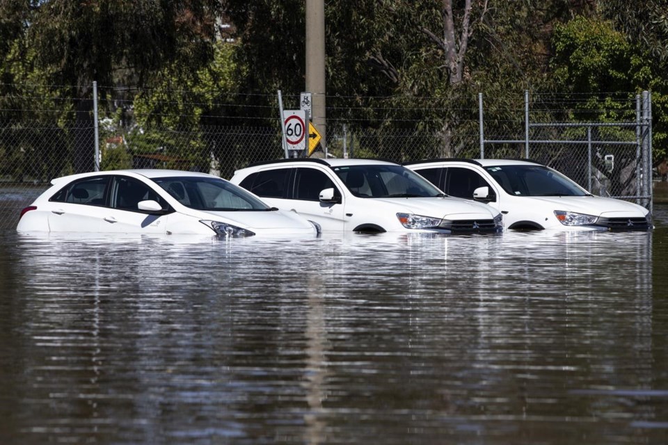
CANBERRA, Australia (AP) — Around 34,000 homes could be inundated or isolated in Victoria state as a flood emergency continues across parts of Australia’s southeast, an official said Monday.
Victoria is the worst-affected state with some towns experiencing the highest river peaks in decades. The states of New South Wales and Tasmania were also experiencing flooding in an emergency that began last week.
Federal Emergency Management Minister Murray Watt said Victoria faced “some serious flooding” with more rain forecast for late this week.
“It’s quite likely we’ll see a flood peak happen and waters recede, followed by another peak, as different river systems come together,” Watt told Australian Broadcasting Corp.
“So this is a very serious situation and the reports I’m getting is we … could be looking at up to 9,000 homes inundated in northern Victoria and potentially close to about 34,000 homes in Victoria either inundated or isolated,” Watt added.
Two people drowned and two were reported missing in Victoria and New South Wales in the past week.
The latest fatality was a 71-year-old man found dead Saturday in floodwaters in the backyard of his home in Rochester, a central Victorian town about 180 kilometers (110 miles) north of the state capital Melbourne.
Tim Wiebusch, chief operating officer at Victoria State Emergency Service, estimated 85% of Rochester had been flooded by the overflowing Campaspe River at the weekend.
The northern Victorian town of Kerang is likely to be isolated for up to seven days when the Loddon River peaks on Wednesday or Thursday, Wiebusch said.
“Whilst we have a number of communities where rivers are starting to recede, there are still many rivers and communities that are under threat of major flooding in these coming days,” Wiebusch said.
Many schools and roads were closed across southeast Australia and thousands had evacuated their homes.
October is usually the start of the wildfire season in the three states that are enduring record and near-record flooding.
The landscape usually dries out during the Southern Hemisphere spring and the fire danger escalates during the summer. But the Bureau of Meteorology last month declared a third successive La Niña weather pattern, which is associated with above-average rainfall in eastern Australia, was underway in the Pacific.
The bureau forecast that the La Niña event may peak during the current Southern Hemisphere spring and return to neutral conditions early next year.
Professor Julie Arblaster from Monash University’s School of Earth, Atmosphere and Environment in Melbourne described three successive La Niñas as rare.
“The rainfall and flooding is consistent with our understanding of how a La Niña event impacts our region,” Arblaster said in a statement.
Other climate drivers — a positive Southern Annular Mode and negative Indian Ocean Dipole — have also aligned to bring above-average rainfall to eastern Australia.
Rod Mcguirk, The Associated Press


