HALIFAX — The Canadian Hurricane Centre is predicting an "average" season, saying the ferocity and frequency of tropical storms off Canada's East Coast this year will be decided by competing factors in the global climate.
Meteorologist Bob Robichaud said Thursday during a briefing that much depends on whether this season's El Niño — characterized by above-average water temperatures over the Pacific Ocean — has its usual calming impact on the Atlantic waters.
Robichaud says that in El Niño years, high-altitude winds that blow toward the Atlantic Ocean have decreased the number of storms in waters off Canada's eastern shores.
El Niño's warmer waters make warmer air over the Pacific rise higher up in the atmosphere, creating strong, upper-level winds that can decapitate storms as far away as the North Atlantic. It's a phenomenon referred to as wind shear.
On the other hand, the eastern Atlantic is already warmer than usual this year, with meteorologists noticing temperature increases of between 1 to 2 C above the average of the last 30 years.
"We expect it to warm further over the course of the next few months," said Robichaud.
He said most research indicates warmer Atlantic waters make storms stronger, and more able to withstand El Nino's wind shear.
But which of the two factors — El Niño and the warming Atlantic — prevails will only become clearer by the peak of the hurricane season in August, September and October, said Robichaud.
“We have two competing factors which will determine the level of activity in the Atlantic Ocean this year,” Robichaud told reporters. “Which one turns out to be dominant remains to be seen.”
Earlier on Thursday, the U.S.-based National Oceanic and Atmospheric Administration also predicted an average season, calling for 12 to 17 named storms, five to nine hurricanes and one to four major hurricanes, which would generate winds in excess of 177 km/h.
Robichaud said the agency's numbers are in line with historical averages of 14 named storms, seven hurricanes and three major storms during the June 1 to Nov. 30 season in the Atlantic.
He said this year's predictions are a "very wide range," due to the competing weather phenomenon about to unfold over the course of the summer and early fall.
"The prediction is really for a season, in terms of the number of named storms, which is close to average for a typical hurricane season," he said.
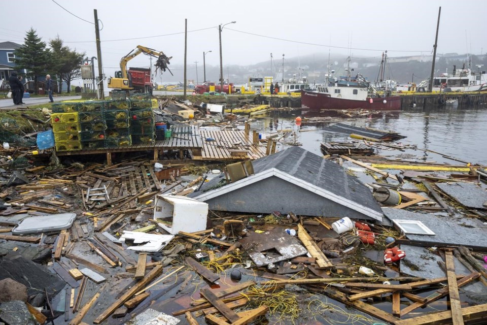
But he added that it takes just one storm to create havoc, reminding that hurricane Fiona took three lives, destroyed houses, and knocked out power to more than 600,000 homes and businesses when it made landfall in the Atlantic region Sept. 24, 2022.
"On any given year, there is the possibility of having a storm of this nature," said Robichaud.
Fiona became the seventh costliest extreme weather event in Canada's history and most costly in Atlantic Canada. The Insurance Bureau of Canada estimated it caused more than $800 million in insured damages.
Fiona remained a powerful storm in part due to a trough of low pressure moving into Atlantic Canada just as it came onshore, causing a re-intensifying of the storm.
While the forecasting centres do produce annual predictions on the number of storms, the science hasn't reached the point where the forecasters are able to provide long-range forecasts on how many of those will actually make landfall and cause the kind of damage that Fiona did.
Robichaud said attempts are being made to forecast the probability of hurricanes heading into Atlantic Canada rather than turning away, but at this point the research is not complete.
This report by The Canadian Press was first published May 25, 2023.
Michael Tutton, The Canadian Press


