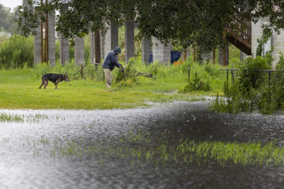
Warm water in the Gulf of Mexico helped quickly strengthen Hurricane Francine, creating danger for Louisiana residents rushing to buy supplies and secure their homes ahead of the storm's landfall Wednesday.
Warm ocean water is essential for forming and strengthening hurricanes. Heat helps the water evaporate faster, fueling the storm and producing more rainfall.
Mid-September is typically the peak of hurricane season and Francine moved through a part of the ocean that held an exceptional amount of energy.
As of Wednesday afternoon, Francine had strengthened to a Category 2 hurricane with sustained winds of nearly 100 mph (161 kph).
Hear's how high Gulf of Mexico water temperatures are effecting Francine and the hurricane season:
HOW HOT IS THE WATER?
The Gulf of Mexico doesn't need record setting temperatures to form hurricanes this time of year. Still, Francine traveled through water that at the surface, was somewhat hotter than average, but not record setting. The storm passed over a patch that was roughly 86 to 88 degrees (30 to 31 Celsius).
What's exceptional is the amount of heat deeper down. Storms churn up the ocean, bringing to the surface cooler water.
Recently, however, that deeper layer was record-setting. It held more heat than at any point in the last decade, according to Brian McNoldy, a senior research associate at the University of Miami’s Rosenstiel School of Marine, Atmospheric, and Earth Science.
“This past week was pretty exceptional,” he said.
And Francine passed over a patch of water, called an eddy, that was especially hot.
Near the coast, however, the water is a bit cooler than average, meaning there's less energy to strengthen the storm.
“It's window for really intensifying is closed, so that's good news,” he said.
HOW DID FRANCINE REACT?
Warmer water lower down matters most for large, strong storms that move slowly — that's the recipe for churning up a bunch of deeper water.
“On the opposite end of that, a weaker, smaller, quicker moving storm will hardly churn up the ocean at all," said McNoldy. For these storms, the temperature of deeper water matters less.
Francine isn't extremely strong, so the energy stored deeper in the Gulf of Mexico didn't matter quite as much, according to McNoldy.
Still, conditions were favorable enough for the storm to rapidly intensify. On Tuesday afternoon, Tropical Storm Francine had sustained winds of 65 mph (105 kph). A day later it's nearly 100 mph (161 kph). This type of quick change can make storms more dangerous, fast, surprising those in their path.
“Our model projections are telling us this is the type of thing that should become much more common as we go forward into the 21st century, as global warming continues to increase,” according to Gabriel Vecchi, a hurricane researcher at Princeton University who also directs its High Meadows Environmental Institute.
But there's other factors reducing Hurricane Francine's power, according to Bob Smerbeck, a senior meteorologist at AccuWeather. Nearby dry air has weakened its growth and as the storm gets closer to the coast, winds will disrupt the shape of the hurricane, further reducing its power.
“Once it gets inland, it'll weaken quickly, but it's going to do a lot of damage along the way,” said Smerbeck.
WHAT ABOUT LONG-TERM TRENDS?
Federal forecasters predicted an intense hurricane season. And a big storm came historically early. Hurricane Beryl formed in late June and reached Category 5.
But at the mid-point of the season, activity has been pretty average, with just six named storms this Atlantic Hurricane season. August was especially quiet, according to Robert West, a hurricane and climate researcher with the University of Miami and affiliated with the National Oceanic Atmospheric Administration.
But the Atlantic Coast is far from out of the woods.
“It seems like the tropics are kind of waking up a little bit,” West said.
The warm temperatures in the Gulf of Mexico will help, continuing to provide fuel.
There are long-term trends at play, too. Climate change is heating up oceans around the world, although experts say it is difficult to connect specific hurricane seasons or storms to a warming planet, West said.
And there are global weather patterns. Federal forecasters this summer said La Nina could develop. That's where parts of the Pacific Ocean have cooler water surface temperatures. When that happens, it can reduce winds that weaken hurricanes.
“This could be the beginning of a busy period here,” said Smerbeck.
___
The Associated Press receives support from the Walton Family Foundation for coverage of water and environmental policy. The AP is solely responsible for all content. For all of AP’s environmental coverage, visit https://apnews.com/hub/climate-and-environment
Michael Phillis, The Associated Press


