INNISFAIL – We may have a nice weather break in Central Alberta after all.
According to Environment Canada, a three-month seasonal forecast model between October and December is showing warmer temperatures and nicer weather in the coming weeks.
“(The model is) suggesting the best likelihood is of normal to above normal temperatures over that three-month period,” said Brian Proctor, meteorologist with Environment Canada.
“We’re talking about over a 90-day period, as opposed to over a one- or two-week period,” he added. “I think people will be happy with that.”
That will be a welcome change, he noted, after an early start to winter across the region.
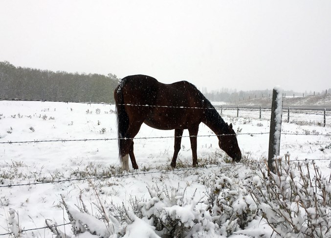
“(Central Alberta) went into a transition from summer to fall/winter very, very quickly this year,” he said. “Right through Central Alberta it’s been significantly below normal. This time of the year our normal (daytime) highs should be about 14 and our overnight lows around one degree. If we look at Red Deer our daytime high was 2.8 yesterday (Oct. 3) at 5 p.m. and the overnight low was -3.6 at seven o’clock this morning (Oct. 4).
“We’re running close to 10 degrees below normal at this point in time, and it looks like that’s going to persist right into the next workweek,” he added.
Proctor said Central Alberta has experienced early winter-like weather this fall and noted a reason behind the snow and colder temperatures.
“We haven’t seen the really significant temperature recovery behind the snowfall events that we typically do see this time of year,” he said. “That’s really got to do with where the jet stream is and where it’s been positioned.”
While the short-term forecast may see the cold linger a bit longer, the next three months may see the return of autumn, he said.
“(It’ll be) nicer and more typical weather that most people tend to enjoy,” Proctor concluded.


