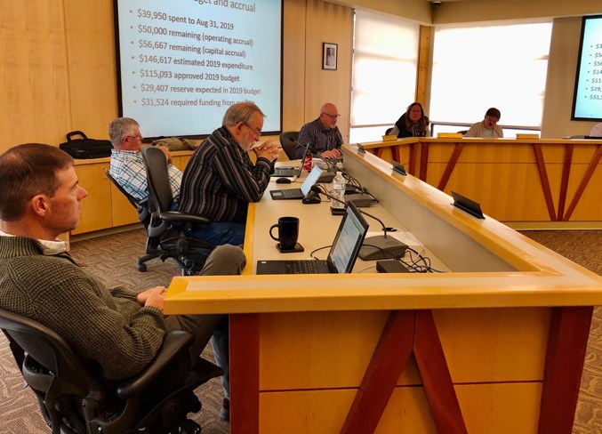
Mountain View County council has considered a number of re-designations in various divisions. The moves came during recent regularly scheduled council meetings.
Council approved a re-designation from agriculture to agricultural 2 district on a 158-acre parcel in the Water Valley-Winchell Lake rural community.
The re-designation is being made to create a new agricultural parcel at NE 32-29-5-5.
"The subject lands are located along Rge. Rd. 54 north of Highway 579 approximately eight kilometres northwest from the rural community of Water Valley,” administration said in a briefing note to council.
“The predominant land use for this region is agricultural. The proposal is within the potentially multi-lot residential development area and within the Water Valley-Winchell Lake growth centre.
“The subject quarter is also found with a level 3 environmentally significant area, which is considered to have a moderate environmental sensitivity. The province also identified some of the neighbouring quarters that contains the Little Red Deer River as environmentally significant.”
Administration supported the proposed re-designation, saying it was within the parameters described in the municipal development plan, the Water Valley-Winchell Lake area structure plan, and the land use bylaw.
Council gave first reading and set a public hearing date for a proposed re-designation of a property in the Westcott rural community, at SE 10-31-3-5.
The re-designation from agricultural district to country residential district is to create a separate parcel for the existing dwelling and related services.
Council gave first reading and set a public hearing date for a proposed re-designation in the McDougal Flats rural community.
The purpose of the re-designation is to bring the property, located at NW 31-32-5-5, from agricultural district to business park district.
Both proposed re-designations will have public hearings on Oct. 9 in council chambers.
Council approved a re-redesignation from agriculture to agriculture district 2 is in the Hainstock rural community approximately 15 kilometres northwest of Olds along Rge. Rd. 25, at SE 31-33-2-5.
The re-designation is to create a separate title for estate planning.
“This area of the county is primarily zoned agricultural district with most of the surrounding quarters used as farmland,” administration said in a briefing note to council.
“The Trail Creek, a class D waterbody, runs in this area to the east. This creek is fed by many unnamed/unclassified seasonal waterbodies located in the area. This may be the reason why there are several marsh areas scattered in the area.”
Another re-designation from agriculture district to parks and recreation district is in Division 1 in the Dogpound rural community.
The move is to create a separate parcel encompassing the existing dwellings based on fragmentation.
“The application also proposed to re-designate a small portion of land to parks and recreation district to be consistent with the use on the balance of the property.
“The slope that is the subject of the proposed fragmentation varies in degree of slope and has the greatest change in elevation at the southern extent and decreases towards the north to an area that provides access from the residential site to the golf course area.”
Another re-designation from agriculture district to residential farmstead district is in the Jackson rural community in Division 1.
The move is to re-designate and subdivide a farmstead from an unsubdivided quarter section.
“The proposal contains a dwelling, which was constructed in the 1960s, as well as a quonset, an animal shelter, paddocks and a few sheds. The boundaries are configured to ensure the shelterbelt to the north and the paddocks to the east and south would be encompassed within the proposal.”
Council approved second and third reading of the proposal.
Another re-designation from agricultural district to residential farmstead district is in Division 4.
The move is to subdivide the farmstead, which is the first parcel out from a previously unsubdivided quarter.
The proposal is in the Harmattan rural community approximately 15 kilometres southeast of the Town of Sundre. The subject property is located along Highway 22.
Council approved second and third reading of the proposal


