More than 60 area residents, as well as Mountain View County councillors and staff, attended the second open house for the proposed updated Eagle Valley area structure plan (ASP) on Jan. 29.
First put in place in 1997, the ASP is being reviewed and updated by the county to bring it into line with the current municipal development plan and land use regulations.
The ASP is a land use framework used by the county as a guide for subdivision and development in the Eagle Valley area northeast of Sundre.
The plan area is bordered on the south by Twp. Rd. 334, on the north at the Red Deer County boundary, on the east by Rge. Rd. 43 and in the west by Rge. Rd 52 on the south and Rge. Rd. 42 on the north.
The update is being overseen by a steering committee made up of county councillors and appointed members of the public.
The ASP area is divided into three policy areas: Red Deer River Corridor Area, which is land to be protected from further subdivision; the Environmental Area Overlay, where there are agriculture and residential opportunities with careful consideration for environmental areas; and Low Density Area, where there are agricultural and residential opportunities typical throughout the county.
Held at the Eagle Hill Community Centre, the two-hour Jan. 29 open house saw about a dozen guests present written questions to the steering committee with administration staff responding with technical information.
Guests were also encouraged to fill out a yes-no survey asking respondents if they support recreational development within the three policy areas. The survey results have not yet been made public.
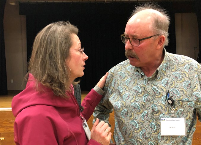
Jim Smith, the steering committee chairman, said input provided at the meeting would help with the next steps for the committee.
“We will now get together after we get the survey ballots back and the information is correlated,” said Smith. “If there are changes that we need to make, then we will make those changes.
“We will review the results and following that make the changes necessary. Following that it will be presented to council. I’m hoping that will be some time in the spring.”
The updated ASP differs from the original plan in a number of ways.
Under the new plan, “no new or expanded confined feeding operations shall be allowed that are of a size of intensity that activates the provisions of the Alberta Agricultural Operations Practices Act” in the low density area and the environmental area overlay.
In the Red Deer River Corridor Area, “no new or expanded confined feeding operations shall be allowed.”
Regarding agricultural land, the plan allows for first parcel out subdivision in the following formats (maximum two titles per quarter): farmstead separation as described in the municipal development plan; new agriculture (two) parcels that is a maximum of 40 acres: new county residential parcel between two and three acres.
The updated ASP also states that “native vegetation should be undisturbed and any tree clearing should be kept to a minimum. Heavy grazing and cultivation should be avoided in the Red Deer River Corridor Area as these activities reduce the attractiveness of the area for wildlife. Where grazing is already existing, riparian fencing should be considered.”
The plan also states that, “due to the extensive petroleum infrastructure and sensitivity of area water wells, new applications for extraction or processing of sand and gravel are not supported within the plan area.”
An addition to the updated ASP would be a new Dark Night Sky Policy, which states: “Where on-site illumination is required, efforts should be made to design and position lighting that supports maintaining a dark night sky. Lighting for security and safety should be provided by low mast, lower wattage standards. When possible, lighting should be powered by solar energy.”
Mountain View County reeve Bruce Beattie attended the Jan. 29 meeting.
“It’s a really good turnout and good to see the community involved,” said Beattie. “Council has to look at the community’s desires and then council’s responsibility is to look right across the county to see what impact does it have on the broader area.
“In terms of an area structure plan we ask for community input. And if we ask for it we better be prepared to accept the results.”
Asked for his view on the plan calling for no new applications for extraction or processing of sand and gravel, Beattie said, “It would be difficult for me to say no, we can never have gravel extraction. Gravel is where gravel is and we always know we need it.
“We certainly don’t have any plans for gravel extraction (in the ASP areas) and we’ve established a very lengthy process for any gravel extraction application that might come forward.”
Regarding possible recreational development in the plan area, Beattie said, “Extensive recreation development is clearly not in the cards for this area. People can always apply but if it is pretty clear in an area structure plan that is not supported, council takes that very seriously.”
Adoption of the updated area structure plan would require a motion of council.
The complete draft of the updated ASP and other relative information is available for view on the county’s website.


