Mountain View County staff members have met with Alberta Environment and Sustainable Resource Development (AESRD) officials as part of ongoing efforts to mitigate flood dangers on the Red Deer River upstream from Sundre.
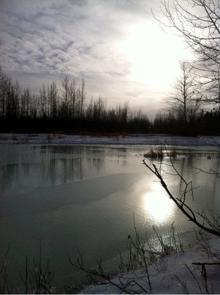
High water on the Red Deer River caused flooding of private and public lands upstream of Sundre last summer. The county has been examining what could be done to reduce future flooding risks.
Although the possibility of constructing an extended berm on the north bank of the river south of McDougal Flats has been discussed, county council has not passed any motion to move forward with construction.
During the most recent county council meeting, Michael MacLean, Mountain View County director of operations, gave councillors an update on the talks with AESRD.
"We had the meeting with AESRD in Calgary and basically it was a discussion as to how we proceed from here, identifying the scope of what is necessary so we can move ahead,î MacLean told the Gazette. "That was the primary object of the meeting, to identify the requirements to move ahead.î
Following the meeting in Calgary, the county requested that AESRD prepare an updated assessment report of the flood risk upstream of Sundre, he said.
"That flood risk assessment needs to be prepared and completed as the next step,î he said. "Alberta Environment are the ones that produce that report; they have the staffing and we are asking that that flood risk assessment be prioritized appropriately and be completed.î
Preparing the assessment report would likely include interviews with area landowners and others.
"That is definitely a priority, to seek the public's input,î he said. "That's always a part of the process. The technical component of the flood risk assessment is based on the river, the topographical, and weather conditions over the past few years.
"All of that has to be taken into consideration and how it is going to affect the future flood risk. That is all technical information.î
Work on the assessment report has not yet begun, he said.
"We've submitted the request and we are awaiting their response,î he said.
Once the assessment is completed, the county will have a better idea of how to proceed, he said.
In October, administration presented, at the request of council, three possible options for flood prevention on the river upstream of Sundre.
ï One option would see the existing berm, constructed earlier by the county, remain in place. Administration said pros of that option would be that the berm is already constructed, only two properties would be potentially impacted negatively, and no local improvement tax would be needed.
The cons of that option would be that there is the expectation from the public to finish the berm, and there are two landowners who have said the berm has negatively impacted them.
ï The second option would be to extend the existing berm at a reduced cost without armouring. The pros of that option would satisfy two landowner requests for protection, and help protect private and county-owned properties from future floods.
Cons of that option would include the $1,500,000 cost, a local improvement tax or other source of funding would be required, the county would assume an ownership role and all related liabilities, future maintenance and upgrades would be the county's responsibility, and the berm could negatively impact stakeholders downstream.
ï The third option would be to remove the existing berm. The pros of that option would be to reduce the county's role and future liabilities concerning the berm, the county could be a facilitator, not the owner, in the process, there would be no future expectations to construct more berms, a local improvement tax would not be needed, and all future flood damages on private land could be claimed through the province.
Cons of that option would be the loss of the $250,000 the county has already invested, and the "county would not be meeting the expectations of the surrounding community.î


