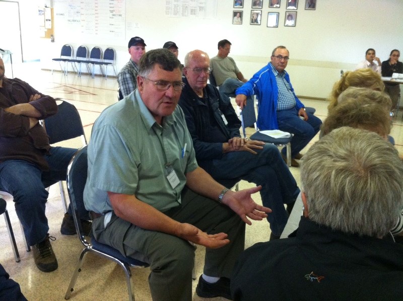
About 20 people attended the second open house for the proposed Mountain View County Southeast Sundre Area Structure Plan (ASP) at the West County Centre in Sundre on July 7.
The plan has been under development for several months. It outlines development guidelines and conditions for eight sections of land immediately southeast of the Town of Sundre.
Once adopted, the plan will replace the existing 2007 ASP, which contains a number of inconsistencies with the new county-wide municipal development plan (MDP), which was adopted in July 2012.
The plan outlines 10 main objectives, including “to develop a plan that will guide future development”, “to provide for future land use that is sensitive to agriculture and rural surroundings and environment” and to “encourage recreational development that recognizes natural physical features in collaboration with the Town of Sundre Recreation Plan.”
The ASP area contains a number of existing businesses, including two bed and breakfast operations, two campgrounds, a gravel pit and several other businesses.
Following the first public meeting for the plan in Sundre on March 11, a number of changes have been made to the proposed plan, including the following (quoted from plan):
• Residential development is strongly discouraged within 300 metres of setback areas.
• Subdivision shall be limited to three new parcels removed from each quarter section in the area identified as aggregate impact area setback.
• No aggregate resource extraction is permitted in or in proximity to an environmentally significant area.
• The number of lots allowed to be subdivided from the SE 27 and east half of 22-32-5-W5M shall be a maximum of 48 parcels per quarter section.
• At the time of subdivision, the county will consider a possible noise easement agreement to be registered on new titles.
• New business park development should be located in the north half of 36-32-5-W5M.
• This plan recognizes existing commercial and industrial uses and the possibility of appropriate expansion in the future.
• The county may require that as businesses expand, the lands be re-designated to direct control district.
Bob Nerrie, the chairman of the steering committee overseeing the preparation of the plan, said he is pleased with the way things are coming along.
“We've had a lot of conversations with people one on one and I think we've struck a pretty good balance,” said Nerrie. “I think out of this plan we will pay a lot more attention to what we are doing, right from council re-designating areas, to the municipal planning commission approving applications. We've got tools in this that allow us to look at things in more detail.
“Also the planning department will now have more tools when they sit down with an applicant. Development is going to happen, but we've just got to control it.”
The plan's provisions regarding future gravel (aggregate) extraction should help prevent future conflicts, he said.
“Basically what we are trying to prevent is another McDougal Flats from happening,” he said. “Gravel is an important resource and people who own land that have gravel deposits on it have the right to extract gravel. We are lucky in this area (the ASP area) where we don't have a lot of development around those areas.
“So we are instituting an awareness area where it's going to be on caveat, on title that a realtor must tell you what caveats are on there. Basically it's a buyer beware. If you want to buy this land and build a house, you better beware that someday you could be living next to a gravel pit. And that's something new.”
The McDougal Flats area west of Sundre has seen disagreements between residents and a developer who has proposed starting a new gravel pit in the district.
The plan's overland drainage and storm management section includes the following: “Natural drainage pathways, wetlands and springs should be protected from development and if necessary enhanced. The council will require drainage easements at the time of subdivision approval to protect drainage corridors.”
Steering committee public member at large Ed Wicks said the plan's drainage provisions should help address flooding concerns that have plagued portions of the plan area in the past.
“This plan will help address those drainage issues,” said Wicks. “We've put a lot of things in to minimize the damage and maybe lessen it. In 2005 a number of residents (in the area's northwest corner) had water in their crawl spaces and basements.”
The proposed plan could come before MVC council for first reading in August, followed by public hearing.
Mountain View County Div. 6 councillor Paddy Munro attended the July 7 meeting. He said council hopes to have the new ASP approved before the October municipal election.


