Environment and Climate Change Canada issued a special weather statement Tuesday for Mountain View County, Red Deer County and the urban centres near them advising that wintry weather returns to Alberta this week starting Wednesday.
“Expect winter travel conditions from Wednesday overnight to Friday across central Alberta,” the federal agency’s 1:44 p.m. March 25 alert said.
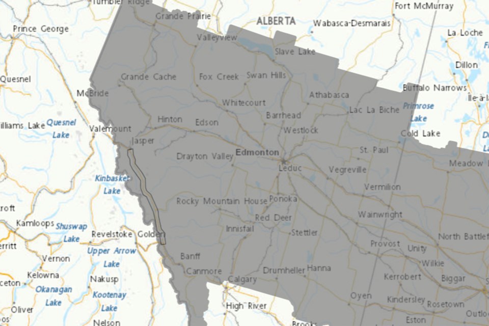
Snowfall amounts of finve to 20 centimetres (cm) of snow is forecast by Friday morning across central Alberta, with higher accumulations of 25 cm possible near the Rocky Mountains and over west-central Alberta near Grande Prairie.
“Given the warm temperatures to start the week and uncertainty in how fast the snow will fall, confidence in total snowfall accumulations is moderate,” the alert said.
Heavy wet snow is expected to begin Wednesday night over parts of west-central Alberta including Grande Prairie, Whitecourt and Edson.
On Thursday morning, the federal agency noted that snow is expected to intensify across central Alberta, including the Edmonton area.
South of Edmonton, across central-southern Alberta including Red Deer and areas east, rain mixed with freezing rain is possible before transitioning to snow Thursday afternoon.
Areas included in the alert are:
• Mountain View County near Sundre, Cremona, Water Valley, Carstairs, Didsbury and Olds
• Red Deer County near Penhold, Innisfail, Bowden and Pine Lake, Elnora, Lousana, Delburne, Spruce View and Sylvan Lake


