MOUNTAIN VIEW COUNTY - Following a months-long review process that included public hearings, the updated Olds-Didsbury Airport area structure plan (ASP) bylaw has been approved.
The move came by way of third reading of the bylaw at the recent regularly scheduled council meeting.
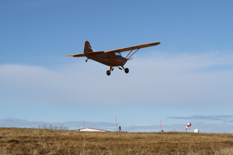
The county-owned Olds - Didsbury Airport is located just west of Highway 2A between Olds and Didsbury.
“Approval of the ASP enables Mountain View County to advance its economic development strategy, focusing on expanding lot development and commercial opportunities at the airport for the benefit of our residents,” reeve Angela Aalbers told the Albertan.
The original ASP for the facility was approved in 2006 and was updated at the instruction of council. A steering committee oversaw the review project.
The updated ASP set out in Bylaw No. 07/24 provides direction for the future land use, subdivision potential, and requirements for future development of the airport and lands surrounding the airport.
The updated plan includes a number of key changes from the original plan including the following:
• Expansion of ASP boundaries: The original plan area consists only of the two quarters that contain the current footprint of the airport, along with the expansion area of the airport when that may occur in the future (SE 5-32-1-5 & SW 5-32-1-5). The steering committee direction was to include within the ASP boundaries all lands directly impacted by the airport’s height limitations and noise exposure projection areas. This is an increase from the current two quarter sections to 31 quarter sections.
• Updated height limitations map: The intention of height limitations mapping was to show the allowable height of development that can occur along the take-off and landing areas of the airport’s runways. The steering committee moved to update the map to ensure it reflected the current standards for protecting the runways from the height of nearby surrounding structures, while also protecting the take-off and landing areas of a potential future expanded runway, to a maximum addition 206 metres (675 ft.)
• Limitations on location for new country residential district (R-CR) subdivisions.
The updated plan also includes no new communications towers supported if they interfere with the safe operation of the airport, and no new alternative/renewable energy, commercial are supported.
During the June 26 council meeting, council received five maps and related administration comments regarding the updated plan.
One comment states: “Subdivision potential may be considered for smaller agricultural parcels or farmstead separations with no restrictions as a result of the height limitations and noise exposure.
“A country residential subdivision may be considered if no part of the proposed parcel boundary touches any part of the height limitations and noise exposure areas.”
During the review process several landowners expressed concerns, including possible negative impacts on land values, increased air and ground traffic as development accelerates, safety concerns for residents and landowners as traffic increases, noise and privacy issues, and land taken out of agriculture projection.
Reeve Angela Aalbers, deputy reeve Dwayne Fulton and councillors Alan Miller, Peggy Johnson voted to approve the third reading of Bylaw No. 07/24, with councillors Jennifer Lutz and Gord Krebs voting against.
“Council expresses its gratitude to the steering committee for their voluntary contributions and recommendations,” said Aalbers.
She also recognized “all participants who provided feedback for council’s consideration throughout the process.”
Editor's note: This article has been updated to correct information about confined feeding operations in the structure plan area.


