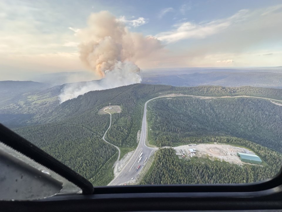
British Columbia's wildfire service says another round of dry lightning is in the forecast for the southern third of the province, coinciding with the return of hot, dry weather that's raising the fire risk heading into the long weekend.
The service's latest situation report says thunder cells are expected to form, bringing dry lightning through to Saturday.
It says Sunday's forecast shows a cold front moving down from the north, bringing gusty winds and thundershowers spanning the central Interior to the south.
The service says it's prepared to respond to new fires and heightened activity on some of the approximately 320 blazes currently active in the province, including eight classified as "wildfires of note."
It says wildfire personnel are constantly monitoring and assessing conditions, and resources are stationed to respond in areas with heightened risk.
The service adds that smoke is expected to move into B.C. from fires burning in the United States.
Just under 40 per cent of B.C.'s active fires are classified as burning out of control.
The wildfire service has added two blazes to its list of wildfires of note, meaning they are either highly visible or pose a threat to public safety or infrastructure.
The Dunn Creek fire spans more than 12 square kilometres as it burns about 100 kilometres north of Kamloops, while the 23-square-kilometre Sitkum Creek fire is burning about 60 kilometres northeast of Vernon, near Monashee Provincial Park.
Environment Canada has issued more than 20 heat warnings across B.C., and the wildfire service says the heat is coming on the heels of a "drying trend" in the south that means forest fuels are more susceptible to ignition and burning.
The weather office says an "extended period" of hot weather is expected for many parts of southern B.C. as well as inland sections of the north and central coasts.
The warnings in the south span eastern Vancouver Island, Howe Sound and Whistler through to the Fraser Canyon, Okanagan Valley, the North and South Thompson, as well as the Boundary and Kootenay regions.
Daily highs are expected to push into the high 20s near the coast and get hotter moving east, reaching the upper 30s in parts of the southern Interior.
Environment Canada says temperatures are expected to cool slightly by the end of the weekend, but the heat could return later next week.
This report by The Canadian Press was first published Aug. 2, 2024.
The Canadian Press


