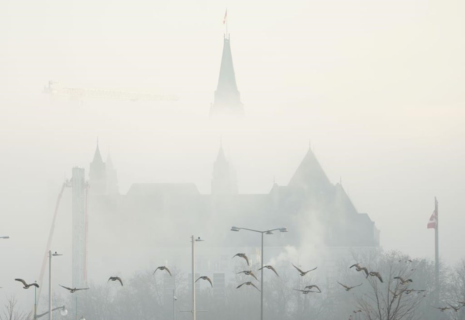
TORONTO — Fog that descended on much of southern Ontario for periods of time in recent days can be attributed to cool nightly temperatures and weak winds, and isn't uncommon for this time of the year, an Environment Canada meteorologist said Friday.
The weather agency issued a fog advisory for stretches of southern Ontario on Friday morning, after a similar one a day earlier. The Friday advisory was lifted before noon.
Environment Canada meteorologist Gerald Cheng said more fog could be seen overnight, depending on the weather.
"In the last few nights, fog forms because the winds were so weak during the overnight hours," he said, explaining that weak winds and cool weather at night caused saturation of moisture and produced fog.
While stronger winds were expected Friday night, there's still a chance for more fog in parts of southern Ontario heading into Saturday, Cheng said.
"It's called radiation fog," he said.
"It usually forms after sundown because at night there's no energy coming in from the sun. The sun is gone and so that air near the ground starts to cool and stabilize and then as the cooling continues to reach saturation, that's when fog forms."
Environment Canada warned of near-zero visibility and hazardous driving conditions due to the fog on Friday morning. It said fog may "significantly and suddenly" reduce visibility to near zero.
Toronto, Hamilton, Durham Region and Peterborough were among the areas that had been under the advisory.
The agency had issued similar fog advisories on Thursday for the Greater Toronto Area and some parts of northern Ontario.
This report by The Canadian Press was first published Nov. 4, 2022.
Maan Alhmidi, The Canadian Press


