CHARLOTTETOWN — At the end of his presentation at an Earth Day event in Charlottetown, Adam Fenech, a professor at the University of Prince Edward Island, used a video game to simulate the effects of sea level rise in the province.
Fenech said the audience gasped as they saw areas they knew, maybe even their homes, swamped with water. As he gauged the reaction in the room, he thought, “Oh, we're onto something here."
That was about 10 years ago.
Today, the video game — now updated and with better resolution — has become an important tool in helping P.E.I. residents understand what coastal erosion caused by sea level rise and flooding can do to communities.
Called CoastaL Impacts Visualization Environment, or CLIVE, the game will soon be linked to the provincial government's website, and next month Fenech is travelling to eight communities on the Island to present the technology and show people "the vulnerability of their own properties or of their friends’ property."
By helping people visualize how storm surges and coastal erosion can transform the land, the video game appeals to people's sense of vulnerability and can push them to take action to protect the environment, he said.
Fenech produced CLIVE with the help of his students, Alex Chen and Andrew Clark. The game offers users a birds-eye view of the province, allowing them, with the click of a button, to raise or lower sea levels and increase or reduce coastal erosion.
During past presentations around the Island, "the impact was huge," he said.
"We would find people crying, seeing their houses swamped from the water. But it was a great tool for showing the immediate vulnerability of certain areas, if they were low-lying coastal areas, or if the coastal erosion rates are very high in their area."
In 2014, the video game won the Murray Pinchuk Community Builder Award, given by the Prince Edward Island Institute of Professional Planners, and won an award from the Massachusetts Institute of Technology. The game's technology has also been exported to Los Angeles to help that city understand coastal erosion risks, Fenech said.
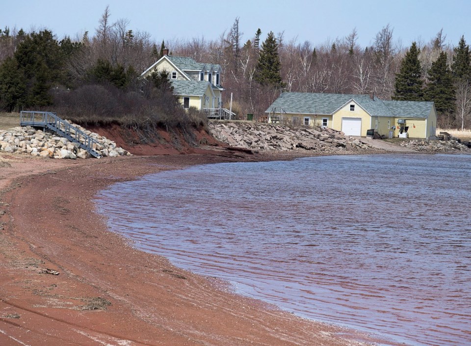
Research by Fenech and others a few years ago, using aerial photos from 1968 and 2010, showed that about 28 centimetres of coast is lost every year in Prince Edward Island. Their modelling predicted that in 90 years, more than 1,000 homes, eight barns, seven gazebos, 42 garages, 17 lighthouses, 146 commercial buildings, one wind turbine and more than 50 kilometres of roads were at risk from coastal erosion.
The important thing to remember, he said, is that coastal erosion could accelerate if sea levels rise more quickly and storm surges are more frequent. Coastal erosion, he said, "continues and was certainly significant following hurricane Fiona," which hit the province as a post-tropical storm in 2022.
Fenech said many Islanders know that their province is slowly being eroded away, but fast-forwarding the consequences of climate change before people's eyes produces an effect that charts cannot.
"Virtual reality is something that touches deep within the hearts and brains of people that allows them to fully understand the vulnerability so much better than a static image or of someone telling them something, or a climatologist showing them a chart on a graph .... It's very immersive. It allows them to sort of contact the part of them that's also the emotional side, not just the academic side," Fenech said.
This report by The Canadian Press was first published June 15, 2024.
— By Hina Alam in Fredericton.
The Canadian Press


