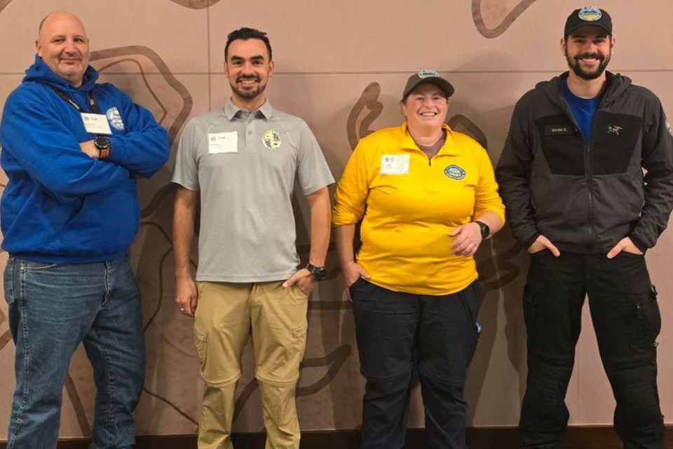
SUNDRE – Courtesy of a digital mapping tool that a member of a Sundre search and rescue organization helped make available on a provincial scale, teams across Alberta are now able to access live updates that will facilitate operational efforts.
Whether providing assistance in conducting search and rescue operations or even evacuations in the event of natural disasters such as wildfires or floods, search and rescue teams throughout the province now have at their disposal the ability to reference a digital map that can be updated live to indicate what areas have been covered and where they may need to go next.
“It’s a way to standardize how map areas are created and distributed,” said Noah Bradley, a member of the Sundre Volunteer Search and Rescue Society who worked on the project alongside two members from other teams in the province.
This approach – which is founded on an existing digital mapping software used by hikers called CalTopo that uses GPS technology – connects teams in real-time so that maps can be digitally updated on the go, thereby saving precious minutes by sparing the additional step of coordinating by way of radio.
“Every team in the province has access to it through through SAR Alberta,” said Bradley.
A publicly available app that was originally developed by a hiker and search and rescue member named Matt Jacobs, CalTopo also has a more detailed version known as SARTopo.
“He did it as a dual-purpose app for search and rescue and hiking,” said Bradley.
“Through SAR Alberta, CalTopo has provided access to SARTopo, which is kind of the upgraded version – or the more detailed version – of the app.”
Although teams across Alberta have had access to the app since earlier this summer when volunteers like Bradley got involved in providing assistance with the evacuation effort in Jasper, a province-wide all-teams training exercise held over the Sept. 28-29 weekend formalized the announcement, he said.
Bradley had previously met with members from other teams who shared his interest in mapping.
“We all knew how to use CalTopo, and so it kind of started as a brainstorming session to see what should be like a standardized process that can be quickly mobilized for search and rescue teams to use,” he said.
The idea was to create a shareable digital map through CalTopo featuring pre-organized folders that search managers can use from the field.
“It’s kind of like a plug-and-play model,” he said. “All the manager has to do is put in the appropriate information for that specific search, but everything has already been done to organize things ahead of time.”
Before this kind of technology was ever available, the effort to update maps during an unfolding operation would have required a more time-consuming process involving radio communications and manually updating paper maps that members would scribble down notes on. But now, instead of different teams each referencing their own map, they can all coordinate their efforts using a universally-accessible digital map.
“And in conjunction with Starlink, then we can give live updates on the map, and so then teams can be moved to another area immediately,” he added.
“We’ll also be able to add areas of the map, or add waypoints or locations, to give the most up-to-date information, which is much more efficient than calling a team back and then giving them a whole new map.”
Of course that all being said, redundancies are always important and traditional methods aren’t about to go away any time soon.
“Paper maps are still really important,” he said, adding they’ll be kept in reserve just in case.
“We want to keep our searchers safe, so having the backup is important,” he said. “Everyone should always have a map and compass.”
But CalTopo delivers an undeniable edge by enabling each search members to download the app on their phone and track where they are live.
“So, not only are they looking at the map, they can see themselves moving on the map,” he said, confirming when asked that it is similar to a person using for example Google maps when exploring a new location by setting a destination that can easily be found by following the little blue dot as the user moves along.
“It’s the same technology,” he said, adding the exception is that the map is downloaded on the phone which then uses GPS to track progress.
“So even when you don’t have cell reception or internet, you can still see yourself on the map accurately.”
Citing as an example the successful evacuation of Jasper that he was personally involved with, he said, “I really do believe that CalTopo can potentially save lives.”
Public access
Bradley also wanted people to know that anybody who is inclined has the option to use CalTopo.
“It’s important for the public to know what CalTopo can do. If they have a family member or someone in their life who becomes lost, then CalTopo gives them a better chance at being found,” he said.
“If search teams are coordinated and everyone’s using the app, we can find lost subjects faster and reduce their suffering as well. The faster we can get to them, then the less suffering they will experience; especially if we’re in a situation like cold weather where every second counts.”
Bradley said he first learned about the app years ago when it was still in the developmental beta stage and didn’t hesitate to download it for his own hiking excursions.
“It has gotten me out of some very dangerous situations.”


