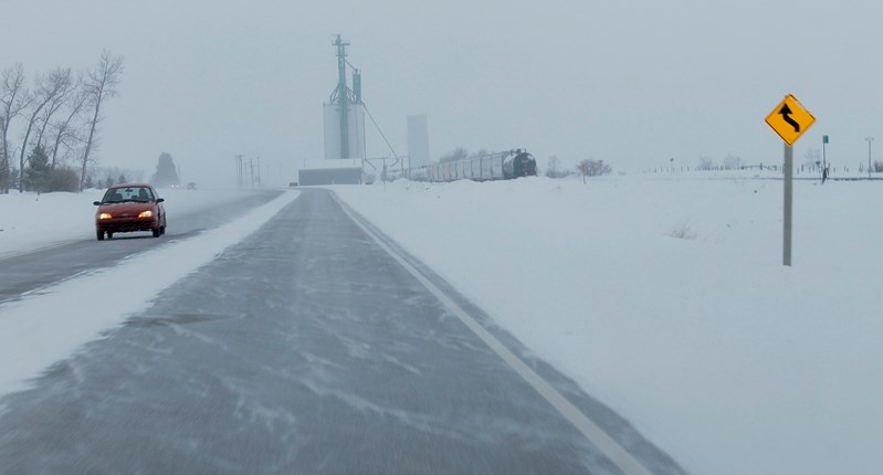
The deep freeze is over and Innisfailians can only hope that seasonal temperatures will at least be the norm for winter's final days.
“It looks right now that we should see seasonal temperatures which will be somewhat of a reprieve from what we have seen,” said Bill McMurtry, Environment Canada meteorologist, with a warning Mother Nature could have a sudden change of heart. “It's not necessarily an indication that spring is on its way. When we get into March and April we can see some big swings in temperatures and in weather patterns over a short period of time.”
McMurtry confirmed Innisfail and area residents have just survived the coldest February in 20 years, with Feb. 24 producing a bone-chilling -33.6 C, the lowest recorded temperature the area has experienced since 1938.
He said the mean temperature for February, which is measured at the Red Deer Airport in Springbrook, was -17.3 C, more than seven degrees lower than the typical average for the month.
“That is a huge departure from normal. When you are over seven degrees below normal every day for the entire month that is a significant number,” said McMurtry, noting the mean temperature in the same month of 1994 was -18 C.
He said the cause of February's lingering cold blast was a persistent pool of cold air that resided over Hudson Bay and northern portions of Ontario and Manitoba that was pushed southward.
“That cold air would funnel in from the east and flood all of the Prairies and bring below normal temperatures,” said McMurtry. “We were right on the edge of it. We would see episodes of cold air but we would not get the longevity of the cold air like Manitoba or eastern Saskatchewan or northern Ontario received.”
He said relief finally came last weekend when the entire weather pattern shifted and the cold air mass changed from the persistent northern flow that has stubbornly hung around for most of February and turned into a westerly flow that brought warm air from the Pacific, across British Columbia and into southern and Central Alberta – bringing a welcome reprieve from February's cold temperatures.
McMurtry said the best he can predict at this time is that Innisfailians should see daytime high temperatures towards the end of this week at around slightly below zero.
“Seasonal temperatures this time of year are a high of zero and lows of -11 C,” said McMurtry. “Yes, it is a significant departure from what we have seen over the last period of time.”
As for an early or late spring, McMurtry said any accurate prediction is just too difficult to make.
“Every weather service in the world is trying to forecast seasons in advance and they are not doing it with very much success,” he said. “There is very little accuracy when you are looking at many months down the road with regards to forecasts.”


