If you thought that we just had a pretty mild winter, then you were right.
This past winter was the warmest in Canada since record keeping began, said Alysa Pederson, meteorologist with Environment and Climate Change Canada.
“We talk about climate change a lot, but a big part of this year and this winter, was [that] we were also in a very strong El Niño,” Pederson said.
“That's what we would expect of El Niño. And then, of course, this year was a relatively strong one. We expected it to be warmer than normal and drier than normal, and that's essentially what we saw across Western Canada.”
The average temperature was reportedly 5.2 C above the norm since Canada began keeping records in 1948. This record beats the 2009-10 winter season, when Canada was 4.1 C above the norm.
This year, Alberta actually fared better than Manitoba and Ontario, as both of those provinces experienced the most dramatic temperatures in the country.
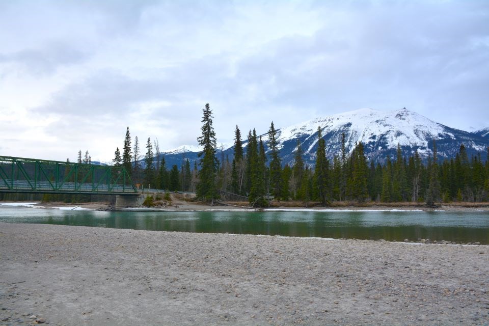
The signs of the dismal winter are everywhere, with a minimal snowpack that has largely already vanished to reveal a lot of brown grass and bone-dry ground. Athabasca River barely has any ice remaining to frost its shores either.
That's the same situation that can be found throughout Alberta and across British Columbia as well.
“We did have a lower snowpack this year. That being said, though – in Alberta, especially – we do tend to get snow right through April and right through May as well, especially in mountain parks. Sometimes, for parts of Alberta, including Banff and Rocky Mountain House and Calgary, the snowiest month of the year is March, followed by a close second of April. We had a drier than normal winter, of course but precipitation only increases in the spring.”
From Dec. 21 to March 21, Jasper saw only 26.6 mm of precipitation. There was only one cold snap from January 11 to 15, a five-day spell that brought temperatures as low as -41.6 C. That was lucky, as the Polar Vortex at that time chilled other parts of the province and into the Yukon down past -50 C (including the windchill factor).
Conversely, the end of January had a five-day warm spell that saw the mercury rise to 13.1 C. A few days before the Spring Solstice, Jasper recorded a day of 20.2 C.
The El Niño was one of the strongest the planet has ever had. This will be followed by La Niña as we progress into fall 2024.
Pederson said that El Niño and La Niña are considered to be a small piece of the climate puzzle. Meteorologists do, however, still consider it because it is something that they can predict, and it has shown scientific trends in what the weather patterns over our area are.
She looked at the last few times that there was a strong El Niño and how they fared for precipitation, and it gives her some optimism for the possibility of spring rain.
“All of those years did indicate in Alberta a normal to above normal precipitation for the spring,” Pederson said.
“There's a little bit more confidence in that as we make this transition here this year.”


