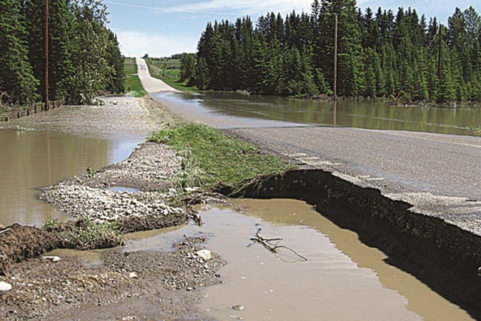
MOUNTAIN VIEW COUNTY - About 30 people attended an open house at the Mountain View County (MVC) Sundre shop on July 6 to provide input on proposed amendments to the county’s municipal development plan and land use bylaw regarding flood hazard lands.
Coun. Angela Aalbers, whose riding includes McDougal Flats west of Sundre, says public input is a vital part of the proposed amendment process.
“We got a lot of great input and we are still waiting on anyone who wants to make written responses and written comments,” Aalbers told The Albertan. “I think we’ve got some really good feedback to bring back to council to support any kind of policy amendments or changes that we might want to make.”
Changes being proposed to the land use bylaw include the following new wording: “Land Use Bylaw regulations shall identify the design standards for development in the flood hazard area (floodway and flood fringe) of the 1 in 100-year design flood of a provincial study; or development located in the flood hazard area of the 1 in 100-year design flood of a flood risk assessment prepared by the applicant to the satisfaction of the approving authority.”
The county held an open house regarding the proposed changes on April 19. Following that meeting, administration recommended that the proposed changes go to public hearing.
During the May 26 council meeting, Coun. Angela Aalbers said after consultation with residents, she believed a delay in holding that public hearing would be prudent, prompting last week’s followup open house.
During last week’s meeting, residents provided input to Aalbers and county officials, information that will be discussed at the July 14 council meeting, she said.
“Residents wanted know a bit more about how these proposed amendments and how changes would impact their lands and development,” she said.
“This was an opportunity to engage with residents. We did more of a one-on-one-type open house for people to ask questions about their actual properties and how the policies would impact them as far as development, subdivision and redesignation.
“It was really about trying to get people more engaged with policy changes and amendments.
The province is currently working on updating flood hazards mapping for the region, including along the Red Deer River and Bearberry Creek.
“It’s still in draft form,” she said. “They put out the draft a couple months ago. They collected all the feedback from impacted residents. They have rehired the consulting firm that did the original draft in order to update the draft based on some of the input they have received.
“We expect to see the draft maps again probably sometime later this year. Those are just the flood inundation maps. After those draft inundation maps are finalized, they will start working on the actual flood fringe and floodway maps.”
On July 14 council will discuss whether or not to move ahead with policy changes before the maps come out, she said.
“Policy really is independent of these maps because the province may choose to do more mapping across Mountain View County or individual landowners may have to do their own floodway mapping if they develop in flood-prone areas,” she said.
The county currently has two different policies in place regarding flood hazard lands: one for the McDougal Flats area and one for the rest of the county.
“This is an opportunity to put policy in place that is county-wide, and the amendments speak more towards reducing development opportunity in the floodway,” she said.
Recent provincial changes to the Disaster Recovery Program must also be considered moving forward, she said.
“We are trying to limit municipal infrastructure in the floodway just to limit the financial impact,” she said. “Obviously the less people and the less development we have in the floodway the quicker we can respond with our emergency evacuations and what we may need to do in the case of a flood event.”
On July 14 council will either instruct administration to move forward with setting a public hearing date or council will defer discussion to a later date, she said.


