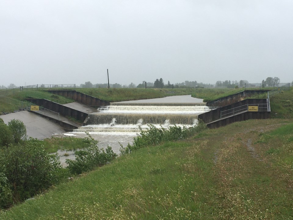
SUNDRE — The town has despite the recent deluge of heavy rains that have caused issues elsewhere, managed to escape largely without a scratch from the fallout of the worst of the weather that had been forecasted.
“So far, we’ve been fairly unscathed,” Jim Hall, Sundre’s operations manager, told the Albertan this afternoon (Wednesday, June 15).
The issues experienced were relatively minor in nature and occur pretty well any time there’s a remotely substantial amount of precipitation, said Hall.
“We have some water running across our 10th Street gravel portion road to the south,” he said. “But there’s not much we can do. That happens each time we get a rain event that’s fairly significant.”
And the heavier flow of water has also further eroded the Bearberry Creek’s banks.
“We’ve got some plaguing erosion issues on the Centre Street Bearberry Creek area, but it’s holding no problem. We’ve just got it cordoned off for the safety of pedestrians,” he said.
Meanwhile, the municipality’s wastewater system remains fully operational.
Hall was asked if residents would potentially be directed to reduce their water consumption, and said, “No, there’s nothing like that.”
The municipality has been closely monitoring the situation, he said, adding the river forecast apps set up by the provincial government have facilitated the town crew’s effort to keep an eye out for updates.
While the digital updates provide crucial information that offers a picture of what’s potentially to come, physically doing spot checks on the streams that can affect Sundre is also part of the town’s response, he said.
“Basically, the flows have been downgraded each day since Monday,” he said. “At this point in time, we’re not fearing any additional problems until we hear further notice with the weather. This is all dependent on weather in the West Country, period.”
Even though the municipality was not heavily impacted by the weather, Hall said the decision was nevertheless made to close to the public the Greenwood Campground out of an abundance of caution.
“We have closed our campground just for safety’s sake,” he said. “It’s just closed so that people don’t drive in too close to the river, because it is flowing pretty fast.”
While these kinds of weather events can bring out some curious eyes that want to see what’s happening, Hall urges everyone to maintain a safe distance from creeks and rivers.
“I just really wish they would just stay back because the rivers are flowing fast enough that if you’re in, there’s not going to be a 911 to get you out of there very quickly, I don’t believe,” he said.
Comparing the situation with the 2013 flood, Hall said water levels have not reached anywhere near that high.
“I would say we’re probably at the quarter mark of 2013. It looks like to me that it’s just holding fast,” he said about the water’s level.
“It hasn’t really raised significantly since one o'clock in the morning when I went and looked. And the rain system is dissipating.”
Looking back to 2013, which turned out to be a far more major event, Hall added how much emergency preparedness has improved since then.
“What I’ve really realized since 2013, is the amount of information and programs, apps and what have you that are supporting us in this,” he said. “They weren’t readily available in 2013.”
But lessons were clearly learned back then in terms of improving the flood resiliency of Alberta communities.
“We have a lot better information coming forward to us now,” he said, adding enhanced emergency preparedness planning has also included in the process stakeholders such as the local schools.
“We could flood every year, right? We’re always watching the snowpack. We’re always watching how things are playing out. We talk about it all the time, pretty much starting in March,” he said.
“It’s better to be prepared and not have something happen, right?”


